
History, 20.05.2021 18:00 Giovanni0312
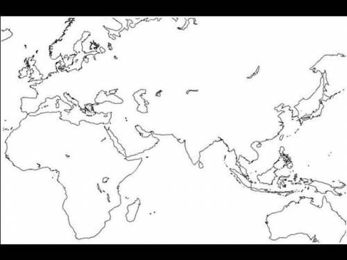
In this part of the activity, you will plot elements in the drawing field to create your map of the trade routes used during the time of the Roman Empire. Alternatively, print out this baseline map, draw the elements by hand, and turn in the completed map to your teacher.
Begin by drawing these elements on the base map:
a key or legend that tells your audience what each symbol, shape, or color on your map represents (for example, your key may show that a red region indicates the Indian civilization)
a compass rose, a figure that shows the main directions on your map (north, south, east, and west)
important geographical features, such as mountains and rivers, along with their names (for example, you may indicate the Indus River with a blue line)
colors to indicate the three main trading regions—the Roman Empire; the Asian civilizations of India, China, and Persia; and the African civilizations of Axum and Kush
Next, research the trade routes that were in use between the Roman Empire and the civilizations of Africa and Asia. Then draw the major trade routes on the map. Make sure that you plot trade routes that include these regions and cities:
Roman Empire
Egypt
Persia
Arabia
India
Meroë (city in the Kush kingdom)
Adulis (city in the Axum kingdom)
Mediterranean Sea and the Indian Ocean

Answers: 3


Other questions on the subject: History
History, 22.06.2019 00:00, yousifgorgees101
What are the contributions of the byzantine empire
Answers: 1
You know the right answer?
In this part of the activity, you will plot elements in the drawing field to create your map of the...
Questions in other subjects:


Mathematics, 24.01.2020 04:31

English, 24.01.2020 04:31

Mathematics, 24.01.2020 04:31


