Upstream from
Site 5
about 130 feet
3.2 miles
upstream from
Site 6
a...

Geography, 21.01.2022 20:40 kebaby9930
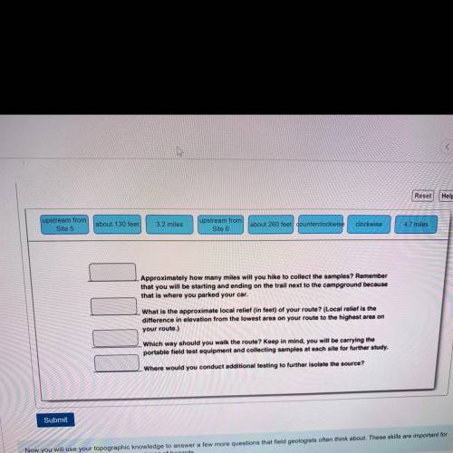
Upstream from
Site 5
about 130 feet
3.2 miles
upstream from
Site 6
about 260 feet counterclockwise
clockwise
4.7 miles
Approximately how many miles will you hike to collect the samples? Remember
that you will be starting and ending on the trail next to the campground because
that is where you parked your car.
What is the approximate local relief (in feet) of your route? (Local relief is the
difference in elevation from the lowest area on your route to the highest area on
your route.)
Which way should you walk the route? Keep in mind, you will be carrying the
portable field test equipment and collecting samples at each site for further study.
Where would you conduct additional testing to further isolate the source?

Answers: 2


Other questions on the subject: Geography
Geography, 23.06.2019 23:30, culturedxnat
Why is canada's east coast a great fishing area? will name brainliest and 30
Answers: 2
Geography, 24.06.2019 05:00, reddmeans6
How did geography influence the settlement of early africa.
Answers: 1
Geography, 24.06.2019 11:10, Bryson2148
How much damage is done by landslides in a typical year in the u. s.?
Answers: 2
Geography, 24.06.2019 15:00, BigGirlsTheBest
Which of the following physical characteristics best explains the climate of the area that is circled in black on the climate map above?
Answers: 1
You know the right answer?
Questions in other subjects:

Mathematics, 13.02.2022 14:00

Social Studies, 13.02.2022 14:00

Business, 13.02.2022 14:00


History, 13.02.2022 14:00
Mathematics, 13.02.2022 14:00

English, 13.02.2022 14:00

World Languages, 13.02.2022 14:00
Mathematics, 13.02.2022 14:00


