
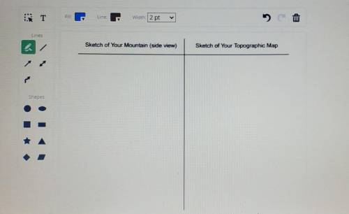
1) Reassemble your mountain by stacking the four pieces in the correct order . In the answer space, sketch a picture of your mountain and its corresponding topographic map. The mountain sketch should be a side view and should include the horizontal dashed lines indicating each section of the mountain that you traced onto your topographic map. 2) On your topographic map, what is the elevation gradient-the difference in elevation- between each contour line? Why is it important that each contour line represent the same amount of gain or loss in elevation?

Answers: 2


Other questions on the subject: Geography
Geography, 22.06.2019 01:30, haileydixon1816
Which tools are visuals that geographers use to interpret the world? choose all answers that are correct. question options: maps satellites graphs sensors
Answers: 1
Geography, 22.06.2019 15:30, linseyamaker2961
#4.) describe the most likely weather conditions at indiana / ohio boarder. also could someone double check my other answers? i'd really appreciate it
Answers: 1
You know the right answer?
1) Reassemble your mountain by stacking the four pieces in the correct order . In the answer space,...
Questions in other subjects:

Social Studies, 04.05.2021 05:50


Mathematics, 04.05.2021 05:50
Mathematics, 04.05.2021 05:50


